Dijon, P. Palliot, 1643.
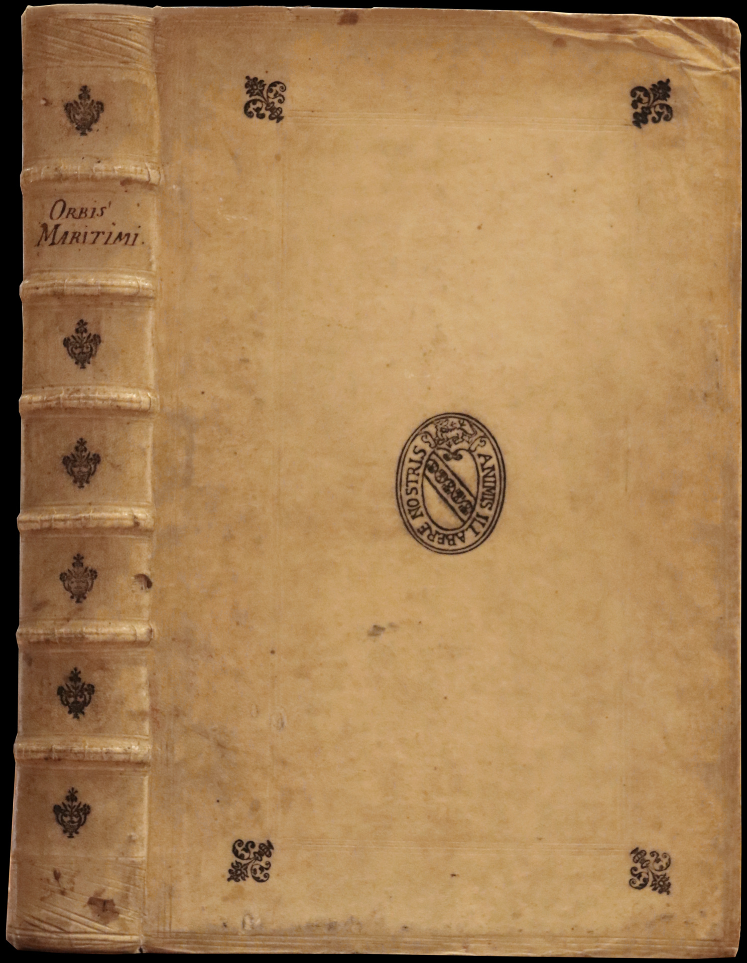
In-folio von (13) Blätter, davon 1 Titelblatt-Frontispiz, 725 Seiten, (19) Seiten, darunter 1 ganzseitige Tafel, 43 Textgravuren, 1 gefaltete Tafel außerhalb des Textes. Randrisse auf S. 105 und 465 ohne Verlust, untere Ecke der S. 505 eingerissen mit Verlust, aber ohne Textverlust, kleine Wurmgänge am Rand von S. 247 bis 270, einige Randpunktierungen, seitlicher Rand der ersten 3 Blätter leicht beschnitten, kleine Brandstelle im Frontispiz. Steifer Pergamentband, doppelter Kaltprägungsrahmen auf den Deckeln, kalte Prägeblumen an den Ecken, kaltes Präge-Medaillon in der Mitte mit dem Motto Animis Illabere Nostris, Rücken auf Bünden mit kaltgeprägten Blumen verziert, rote gesprenkelte Schnitte. Einband der Zeit.
358 x 220 mm.
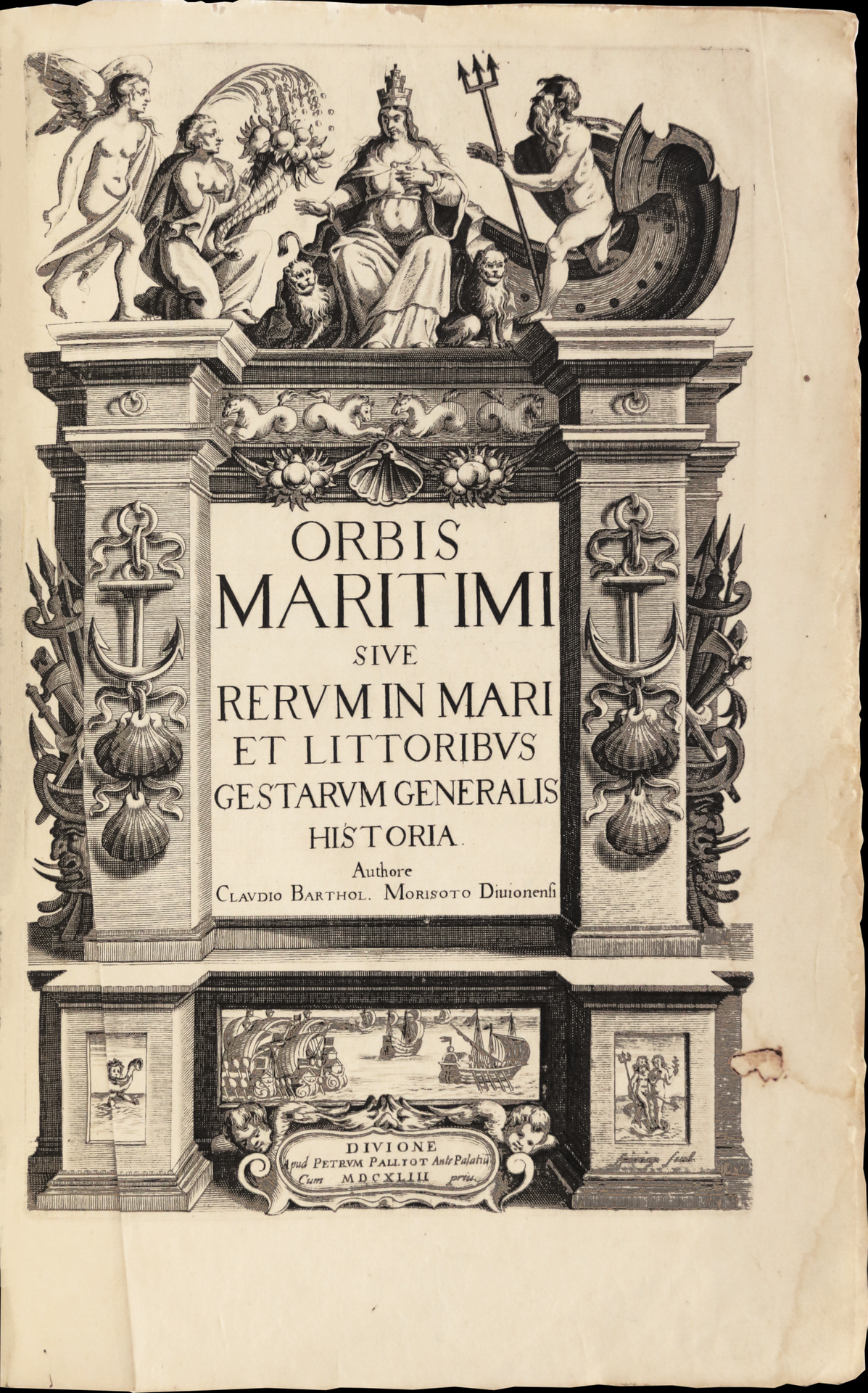
Première et unique édition de la première encyclopédie dédiée au monde maritime.
Sabin 50723; Borba de Moraes 598.
Le présent exemplaire appartient au premier tirage avec la dédicace au roi Louis XIII datée de janvier 1643.
“A kind of encyclopedia of everything relating to maritime affairs. Pages 592-612 contain a description of America, with three maps. The cuts are copied from De Bry.” (Sabin).
« Claude-Barthélémy Morisot naquit à Dijon en 1592, et y mourut en 1661.
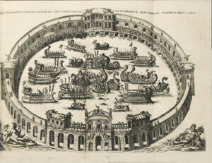
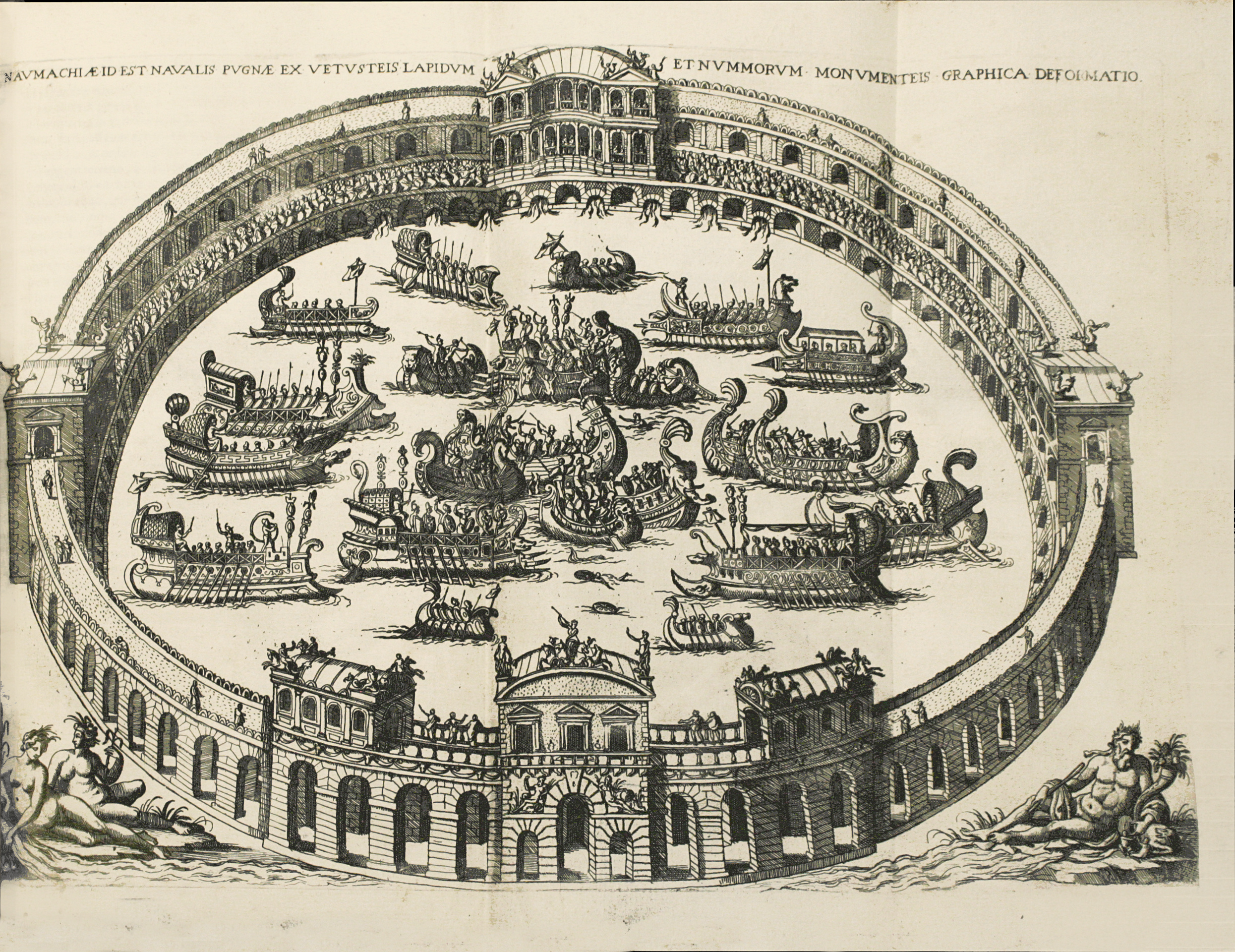
Son ‘Orbis Maritimus’ forme un in-fol. de X ff., 725 pp., IX ff., titre gravé, fig. et cartes impr. dans le texte ; entre les pages 200-201, une grande planche pliée représentant des naumachies anciennes ; les pages 578-609 traitent spécialement des deux Amériques ». (Brunet, Supp., 1122).
With engraved title-page, 1 full-page plate, 1 double-page engraved plate, 23 half-page engraved maps, 20 half-page engraved illustrations.
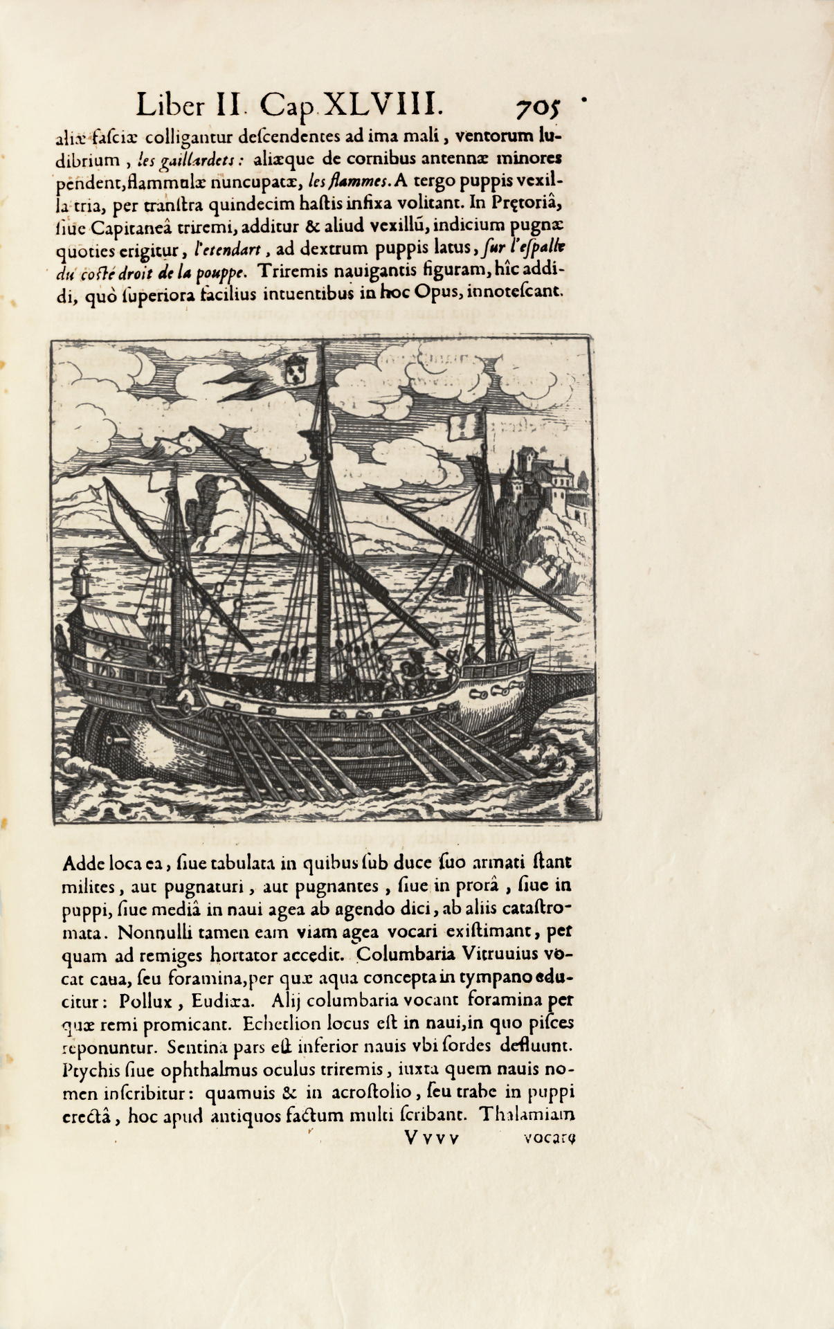
“Has among other merits that of being the first naval history. It is divided into two parts. The first is devoted to ancient times and the second is concerned with modern times, and the deeds of the British, French, Dutch, Spanish and Portuguese. South America and Brazil are described on pp. 601 and following (the description of both Americas covers pp. 592-612 with 3 maps). The work is sumptuously printed… The plates showing different kinds of sailing crafts are very quaint. The map of Brazil is most curious” (Borba de Moraes).
The first part covers ancient times (to the great discoveries of the Renaissance), emphasizing the many naval battles, but also presenting the development of navigation and geography. The second part covers recent voyages of discovery and topographical description, drawing on numerous naval and maritime sources, including travel journals by European explorers.
A very good copy, with generous margins, preserved in its contemporary vellum binding.
Weniger Informationen anzeigen