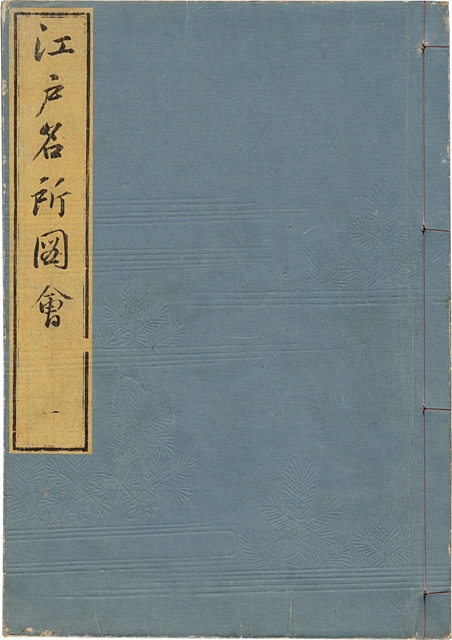
Tokyo, Suwaraya Ihachi, Tenpo 5- Tenpo 7, [1834-1836].
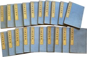
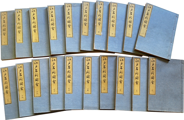
20 4to volumes [258 x 170 mm] on Japanese rice or mulberry tree paper. Preserved in their contemporary blue wrappers with pine branches embossed patterns, lettering piece on the upper cover of each volume, probably renewed stitches. Two modern beige cloth cases. Contemporary binding.
First edition of the best description of the city of Edo (the current Tokyo), the largest city in the world in the middle of the 19th century. H. Kerlen, Catalogue of Pre-Meiji Japanese Books and Maps in Public Collections in the Netherlands, Amsterdam, 1996, n 224; V. Béranger, Recueils Illustrés des Lieux Célèbres, Ebisu, Tokyo, 2002, pp. 81-113; T. Screech, The Western Scientific Gaze and Popular Imagery in Later Edo Japan, Cambridge Univ. Press, 1996.
“The genre of the Meisho-zue starts in Japan at the end of the 18th century. Engravings and text contribute to the count of local history and of heritage of the towns crossed by travelers. Aimed at popularizing the history of places, at facilitating the topographic and intellectual appropriation of the country’s geography, they were very successful.” (V. Béranger, La réception des Meisho-zu dans la France du XIXe siècle.)
“Meisho-zue: name of the illustrated books that describe the landscapes and present the history of the famous places in Kyôto, Edo and some provinces. They were published around the end of the Edo area. The origin of this kind of work dates back to the guides of the famous places (meisho-ki) written at the beginning of the Edo area. If we compare meisho-zue to meisho-ki, we can notice that the pictures are more numerous in the first one and have more importance than the verbal descriptions. The illustrations are realist and have suffered the influence of the genre painting… The most famous Meisho Zue collections are the ‘Yamato Meisho Zue’, the ‘Ise Sangu Meisho zue’ and the ‘Edo Meisho zue’ about Edo (1836).” (Seiichi Iwao, Dictionnaire historique du Japon, II, 115).
For 40 years, three members of the Saito family who were part of the Edo government followed each other in order to gather the information they needed to describe the shogunal capital. The famous places of Edo really see the light of day after the terrible fire that destroyed the previous town in 1657 because after this date the entire city was rebuilt. Saitō Yukio Nagaaki(1737–1799) initiated the project in 1791 but died before he could finish it. His step-son, Saitō Yukitaka Agatamaro (1772–1818), started new research in the Edo region and carried on his work. He also died before he could finish the project. His son, Saitō Yukinari Gesshin (1804–1878), will write the final project, a very detailed human geography, which he will publish in 1834.
The success of the work was considerable and it quickly became a best-seller in Japan.
The text mixes up Chinese and Japanese.
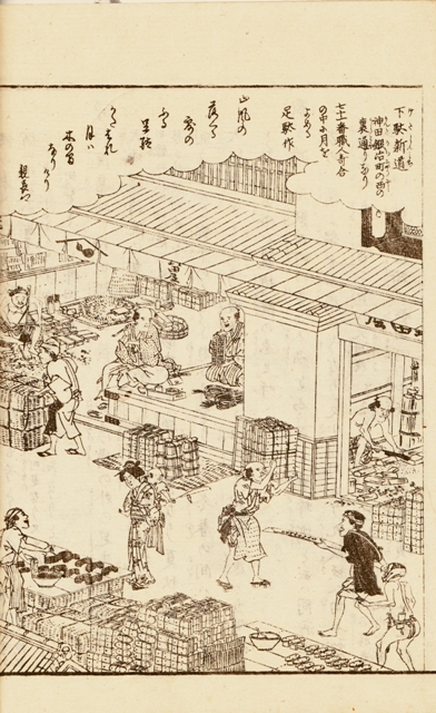
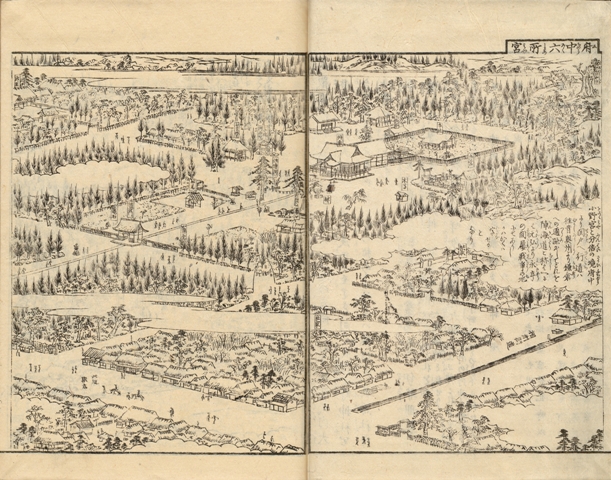
The abundant illustration is composed of more than 600 woodcuts, most of them on double page, executed by Hasegawa Settan (1778-1843).
He excels in the illustration of temples, ruins, monuments, fairs, popular festivals, the life of the farmers, sake dealers, theaters, entertainment places, brothels… The very lively illustrations are taken from literature, historical or legendary events, and from contemporary scenes of manners. One of the illustrations in the 7th part shows the big statue of Amida Buddha in his contemporary surroundings.
A very beautiful and very pure copy preserved in its elegant contemporary Japanese wrappers.
