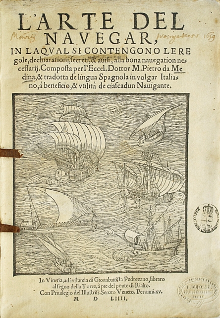
In Venetia, Gioanbattista Pedrezano, 1554.
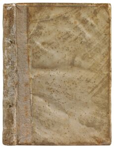
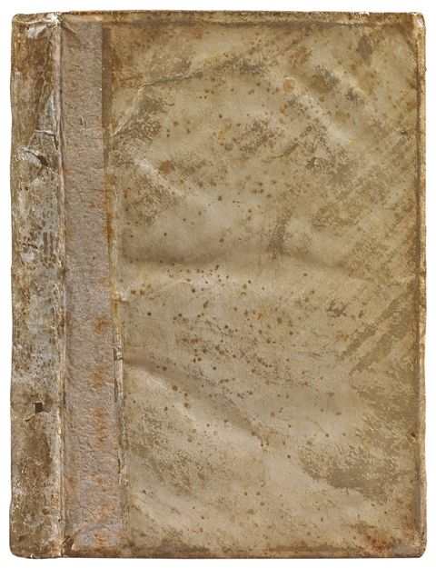
4to [207 x 150 mm] of (12) ll. including one blank, 137 ll., (1) bl. l., numerous handwritten notes in the margin, two stamps of ownership on the title. Full contemporary limp vellum, joints formerly restored with paperboard. Contemporary binding.
First Italian edition and first state of this “highly rare book, decorated with many figures in the text” (Chadenat, 6056), which is fundamental for the history of sailing and cartography. Adams M-1025; Palau 159679; Sabin 47346; Mortimer, Italian, 300; Borba de Moraes, II, p. 549. Missing to Leclerc who only owned the 1555 issue.
Composed as a training book for sailors and explorers from the New World “The Art of Sailing” is the first trêtise providing reliable information on sailing along the American coasts. It was based on the information given by sailors using the Road to India. Pedro de Medina (1493-1576) held the position of librarian for the Dukes of Medina. In charge of preparing the drawing up of maps and sailing handbook by the emperor Charles V, he was appointed “honorary cosmographer” in 1549.
It is in Valladolid, where it was printed for the first time, in 1545, that the translator, Vincenzo Palentino, purchased a copy on the request of the Venetian bookseller Pedrez ano. Here is why the Italian edition is very similar to the original one in Spanish. The art of sailing was a massive success and was quickly translated into Italian, French, and German.
Bibliographers are unanimous in underlining the importance of the trêtise and the grêt rarity of any of the first editions.
“The first edition is very rare. When complete, and in good condition, it commands one of the highest prices for works on navigation. All of Medina’s editions are in fact rare”. Borba de Moraes.
Medina “was with Cortes and may be said to have been the founder of the literature of sêmanship. He was entrusted by the King with the examination of pilots and sailing masters for the West Indies, taught navigation, and was held in high esteem as a cosmographer” (Church 98).
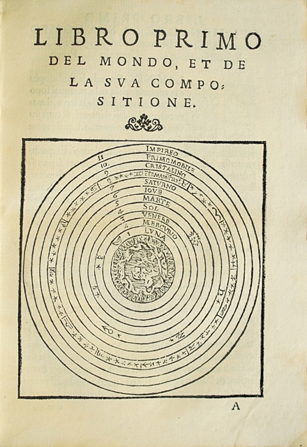
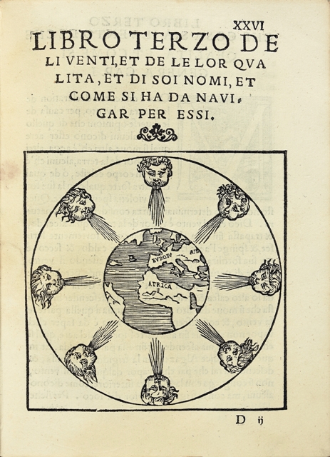
The edition is illustrated with many graphs and woodcuts detailing to sailors navigation according to winds, according to the sun, according to the northern star, according to the moon. Besides, two maps illustrate the work. “The 33rd lêf is made of a peculiar map on which appêr the parts of the New World known at this time” (Chadenat). This map of the New World (l. 33) is famous; it illustrates the recently discovered lands in America and represents with certain accuracy the Isthmus of Panama, the Mississippi mountains, Florida, the Gulf of Saint Lawrence, Cuba, Mexico, Peru, Brazil, Western Europe, Africa… A second map represents the world with the 5 continents inserted in a round of winds (l. 26).
Precious and very pure copy preserved in its original limp vellum binding.
