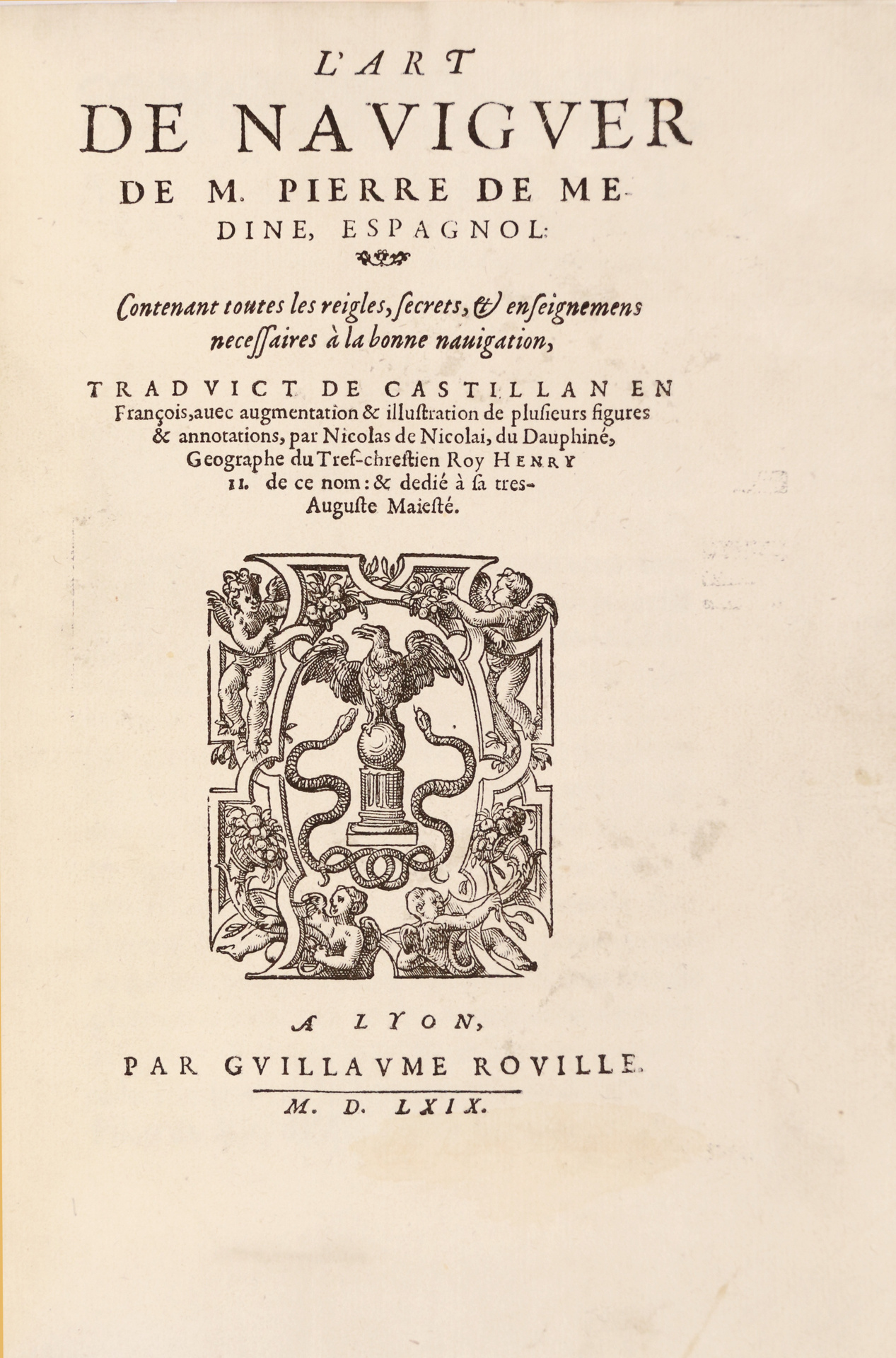
Lyons, Guillaume Rouillé, 1569.
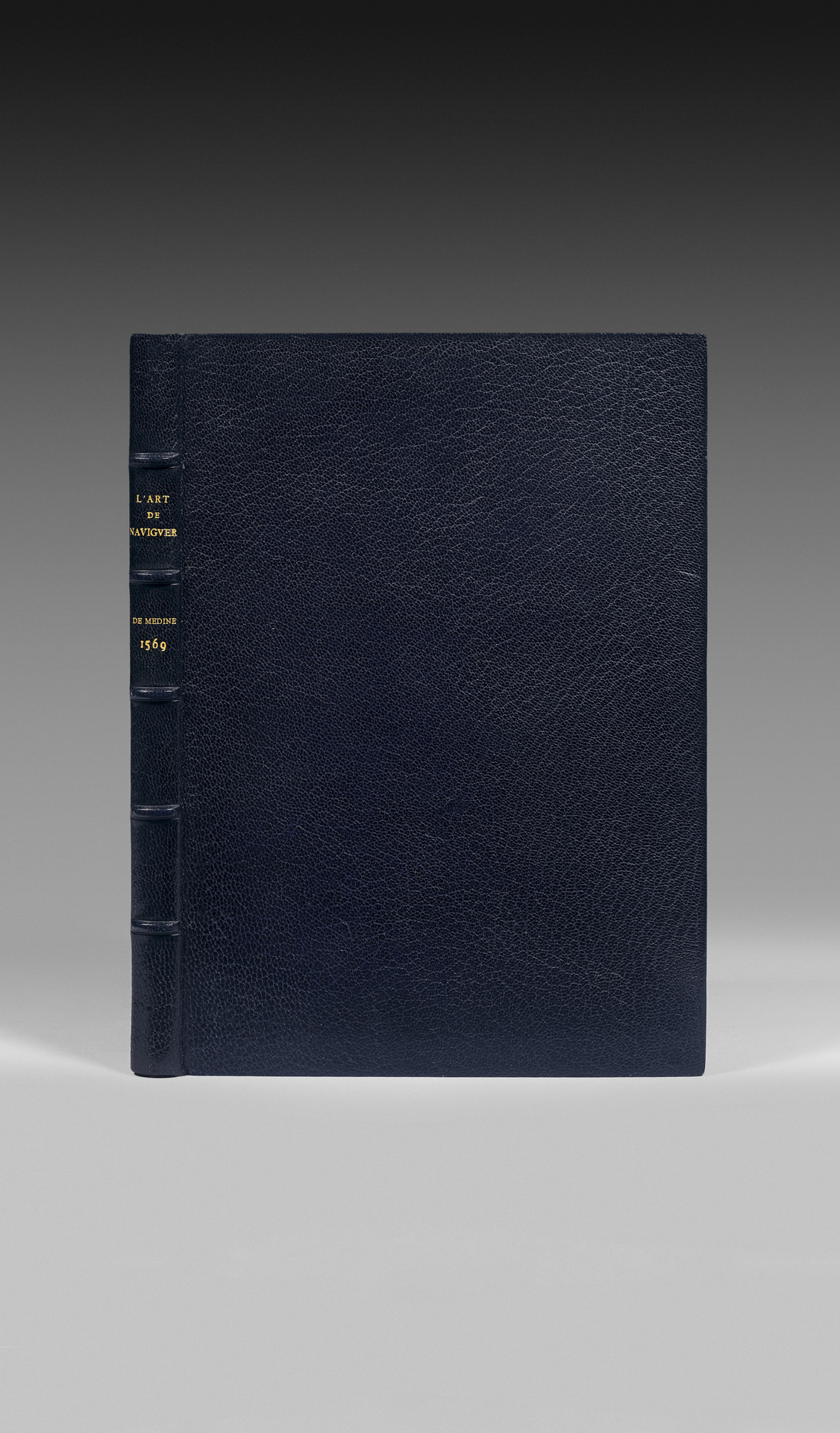
4to [240 x 167 mm] of (4) ll, 225 pp., (6) pp. of table, (1) bl.p., numerous woodcuts in the text, one large folding map. Jansenist blue morocco, spine ribbed, inner double gilt fillet, gilt edges. Rivière & Son.
Rare third edition in French of the famous “Art de Naviguer” of Medina, essential treatise for the study of navigation in the American waters but also for the history of cartography.
Borba de Moraes, Bibliographia Brasiliana, p. 550 ; Sabin, Dictionary of books relating to America, 558-559; Medina, Bibliotheca Hispano-Americana, p. 189 ; Baudrier. IX, 280.
The first one had also been printed by G. Rouillé in Lyons in 1554.
Six copies are listed of the second, Lyons, 1561, of which 5 are in public libraries: Cambridge, B.N.F., Angers, Beauvais, Lyons.
Conceived as an instruction manual for navigators and explorers of the New World, “l’Art de naviguer” is the first treatise to give reliable information on navigation near American coasts. It was based on the information given by navigators using the route to India.
Pedro de Medina (1493-1576) held the position of librarian for the Duke of Medina. In charge of preparing the conception of maps and navigation’s precis by the Emperor Charles V, he was appointed “royal cosmographer” in 1549.
“L’Art de naviguer”, printed in Valladolid in 1545, was a tremendous success and was translated in the following years into Italian, French and German.
Bibliographers are unanimous in highlighting the importance of the treatise and the utmost rarity of all first editions.
« The first edition is very rare. When complete, and in good condition, it commands one of the highest prices for works on navigation. All of Medina’s editions are in fact rare ». Borba de Moraes.
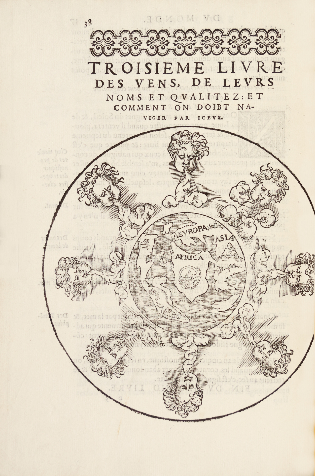
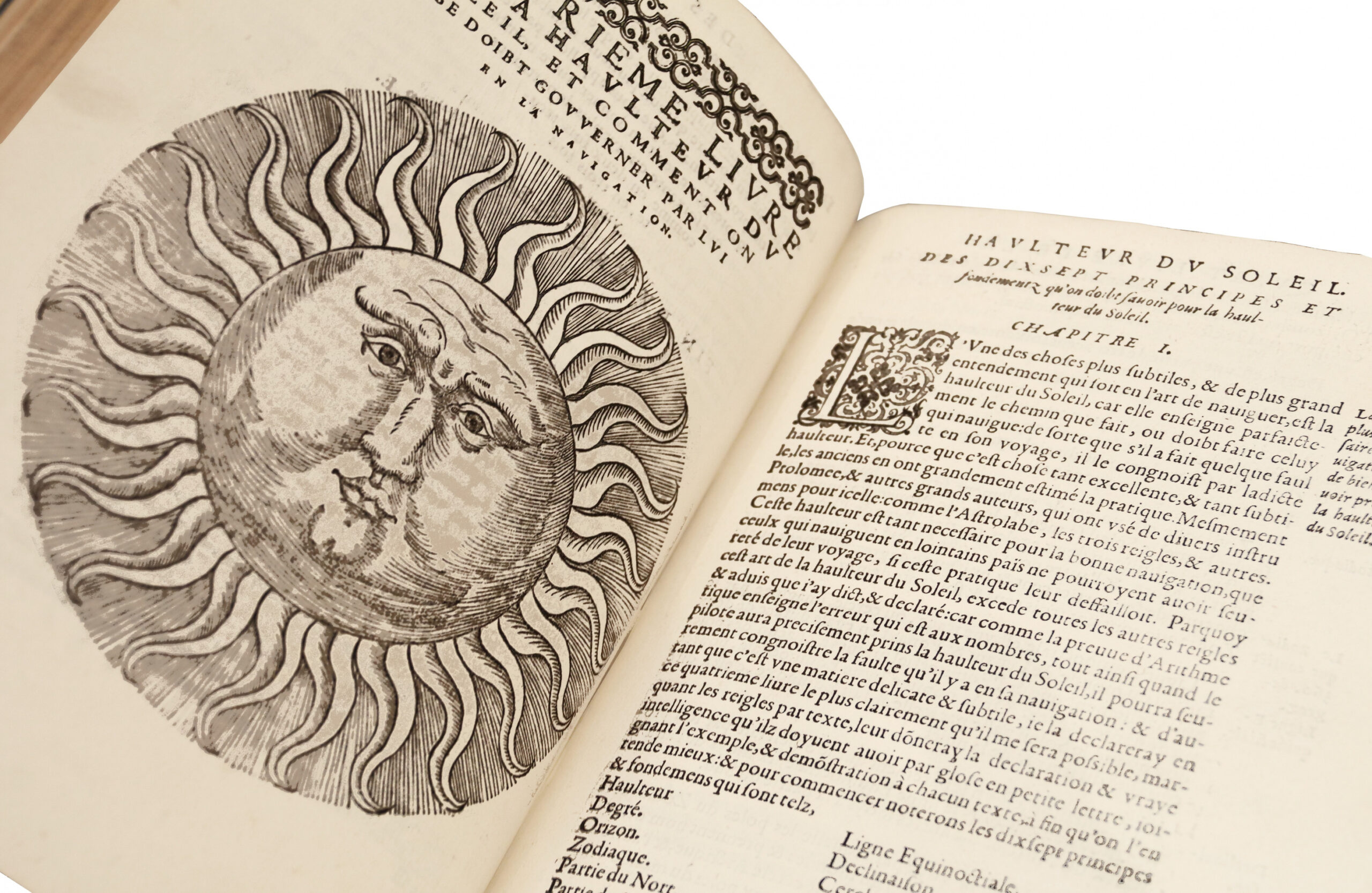
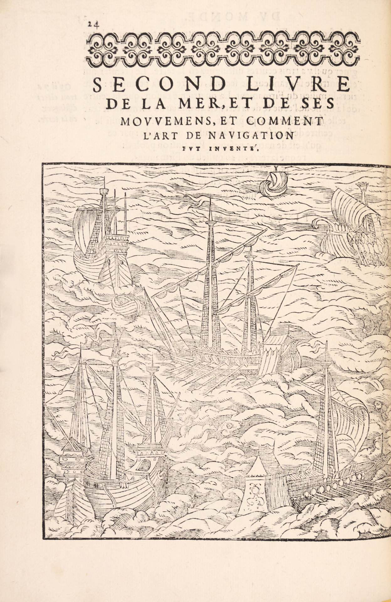
Edition printed in italics and illustrated with numerous diagrams and woodcuts clarifying the navigation according to winds, according to sun, to Polaris, to the moon.
Two maps also illustrate the work.
The First one depicts the world, with the 5 continents, inserted in the wind roll (.38).
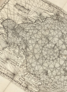
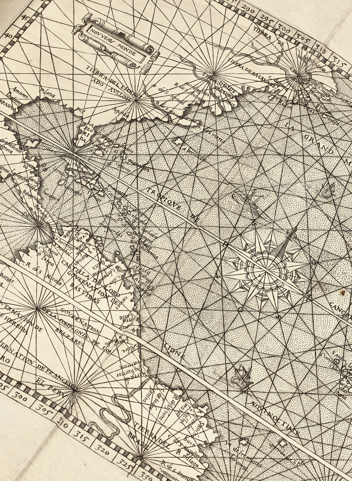
The second map, folded, and entitled « New World » (360 x 250 mm) depicts Western Europe, Africa, the northern coasts of South America with Brazil, Central America, and the Atlantic coasts of North America.
This precious copper-engraved map is signed by N. de Nicolay, King’s geographer. It depicts for a large part the lands recently discovered in America and it is remarkable for the details applied on the Panama isthmus and the border established by the Pope between the overseas possessions of Spain and Portugal. It was one of the first printed maps in Spain in the 16th Century.
Complete copy of a major treatise of travel and navigation.
Only one copy of the second edition, Lyons 1561, has come under the fire of the auctions in 30 years: Christie’s New York, October 8th 1991, bound with Thevet, La France Antarctique. It was knocked down for US$ 65,000.
Bound in morocco signed by Rivière and complete with the large folding map of America of the New World, the present copy is in perfect condition.
