Ōsaka, Kawachiya Kichibei, Bunka 3 [1806] year of the tiger, 文化三年丙寅.
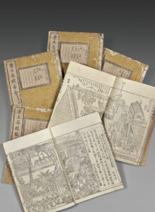
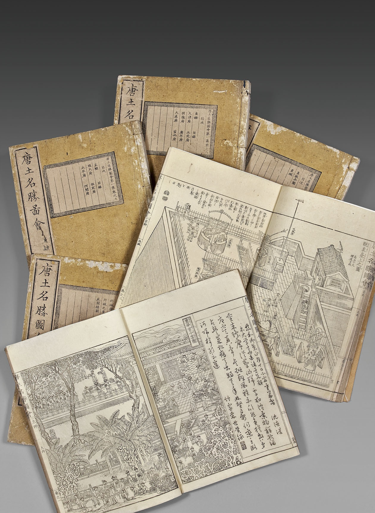
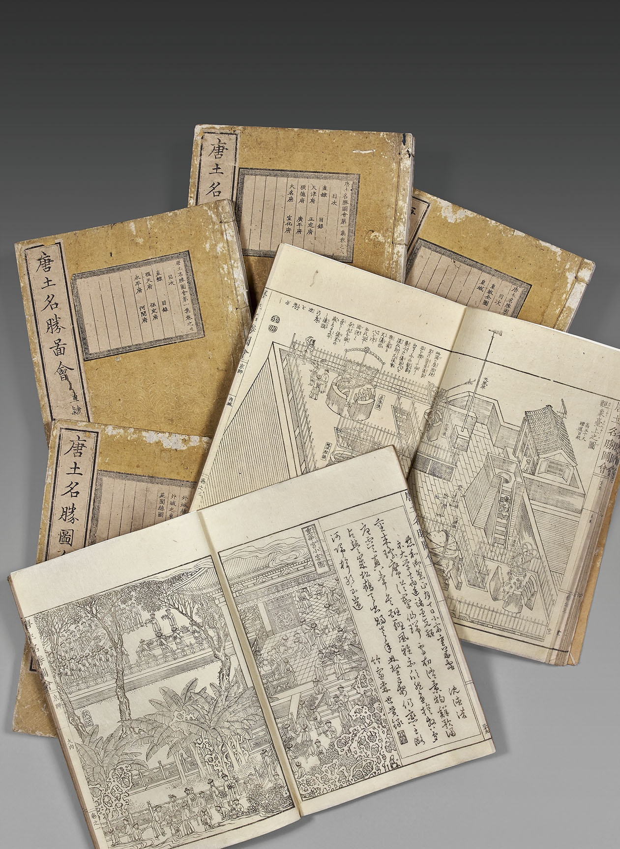
Six 4to volumes [255 x 183 mm] printed on Japanese rice paper. The volumes are numbered in Chinese. The text is printed in sino-Japanese with notes to ease the reading to the Japanese. Red stamp of the owner at the beginning of each volume.
Preserved in their original beige Japanese wrappers with original titles, one printed title and the table of content of each volume pasted on the front cover, stitches probably renewed. Minor defects to the wrappers. Japanese protective book case in modern blue fabric. Contemporary binding.
Very rare first edition of this superb description of China’s famous places under the Qing dynasty.
H. Kerlen, 1996, Catalogue of Pre-Meiji Japanese books and maps in public collections in the Netherlands, n°1077, E. Kraft, Japanische Handschrift und Traditionelle Drucke aus der Zeit vor 1868, I, 1982, n°511 and II, 1986, n°360; Bibliotheca Wittockiana, Western Travelers in China Discovering the Middle Kingdom (2009), n°54; Beijing in Ancient Maps, 2010, pp. 132-145, (Compiled by the National Library of China, Surveying and Mapping Press).
“The Meisho-zue genre was born in Japan at the end of the 18th century. Engravings and text contribute to the inventory of local history and the heritage of the towns visited by travelers.”(V. Béranger, La réception des Meisho-zu dans la France du XIXe siècle.)
“Meisho-zue: name of the illustrated books which describe the landscapes and present the history of Kyôto’s famous places, as well as Edo’s and other provinces. They were published towards the end of the Edo period. The origin of this kind of book goes back to the guides of famous places (meisho-ki) written at the beginning of the Edo period.
By comparing the meisho-zue to the meisho-ki, we notice that there are more images that become more important than verbal descriptions. Illustrations are realistic and were influenced by the genre painting…” (Seiichi Iwao, Dictionnaire historique du Japon, II, 115).
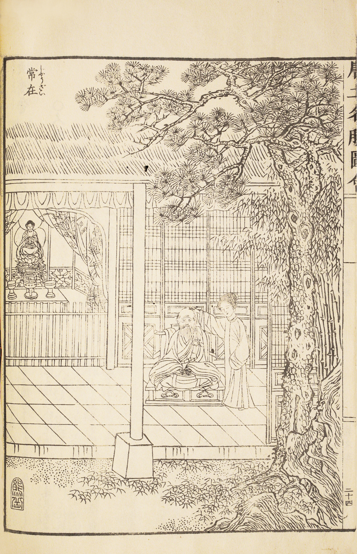
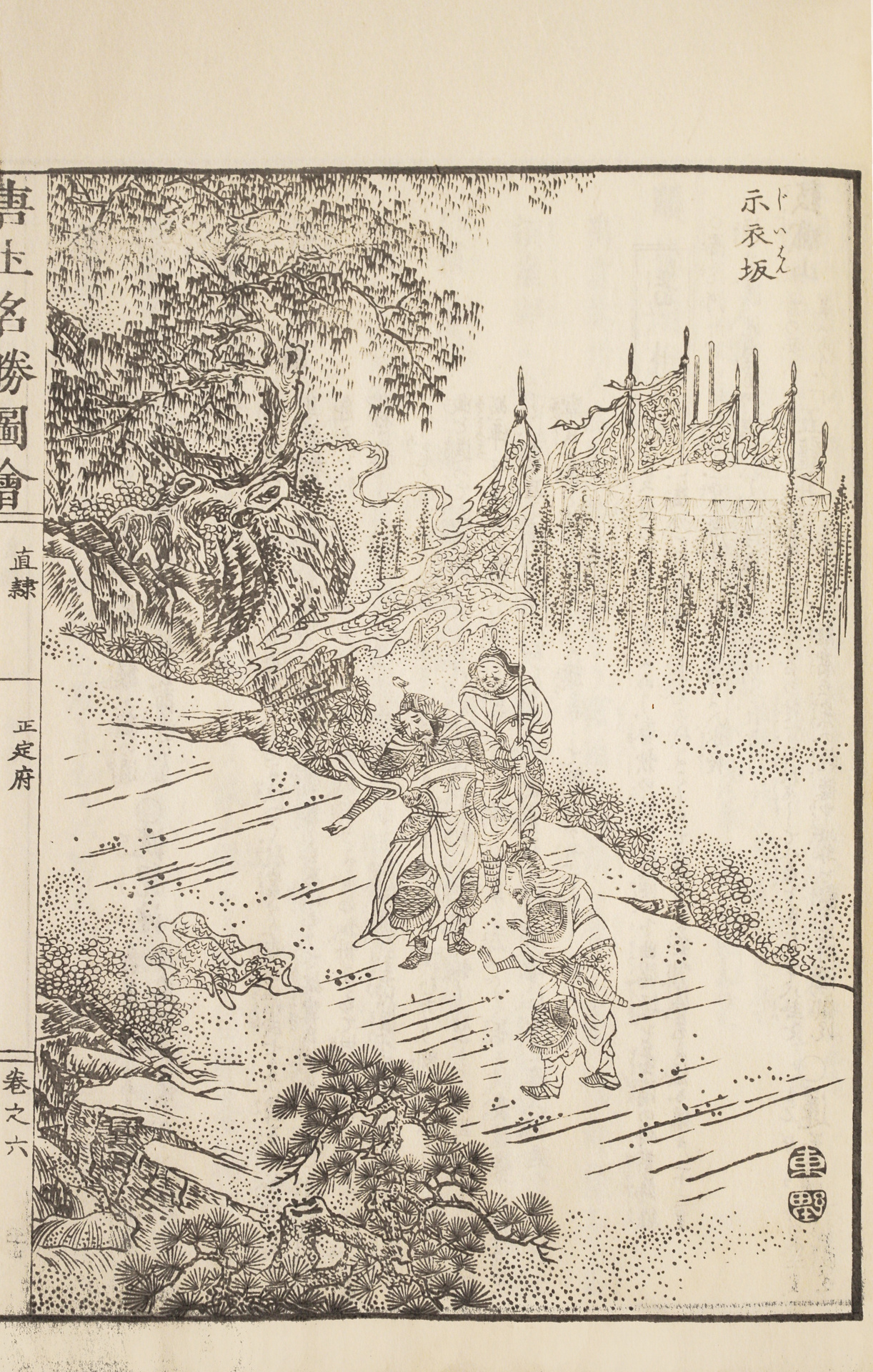
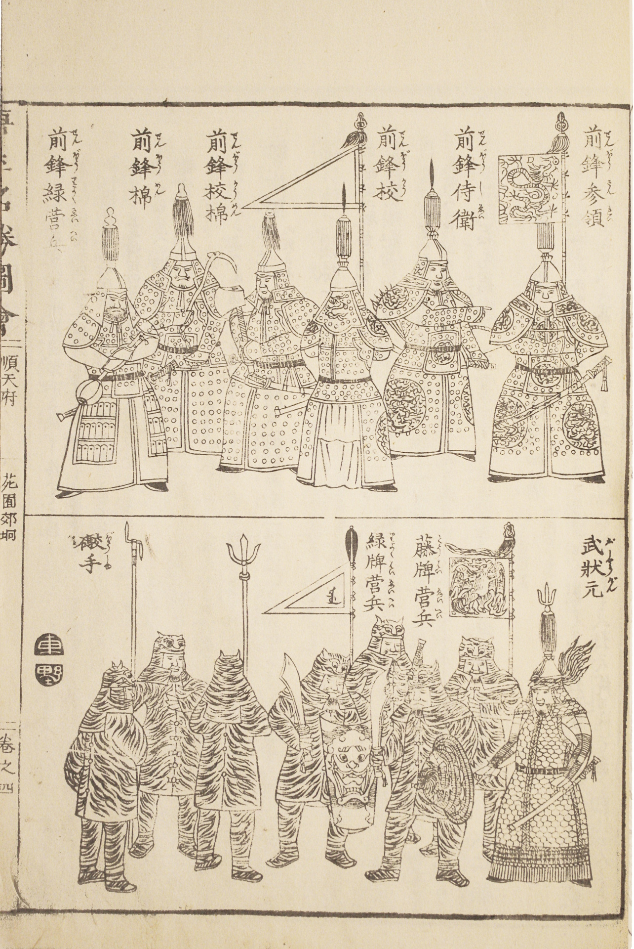
The abundant illustration is composed of over 250 woodcuts, including 170 on double-page, executed by the Japanese artists Okada Gyokuzan (1737-1812), Oka Yugaku (1762-1833), and Ohara Toya (1771-1840).
They depict town maps, maps of Chinese provinces, topographical views with archeological sites, holy sites (the four mountains of Buddhism…), monasteries, palaces…
Other lively illustrations are borrowed from classic literature, historical or legendary events and show daily life scenes.
We also find among these numerous engravings, instruments of music and astronomical instruments, arms as well as costumes. They are presented with poems and explanatory notes. The size of the characters is a guide for the reader to evaluate the dimensions of buildings and sites described in here.
Among these rich illustrations, we especially note: a very fine map of China and Korea, a map of Beijing, a view of the Forbidden City, the astronomical observatory of Beijing founded by the Jesuits Johann Adam Schall and Ferdinand Verbiest, several illustrations of globes and measure instruments introduced by Europeans, views of the Great Wall, …
A very fine copy of this very rare work, the rarest of the series of the “famous places”, published in Japan from the end of the 18th century, very pure and preserved in its elegant original Japanese wrappers.
