Amsterdam, apud Joannem Janssonium, 1616.
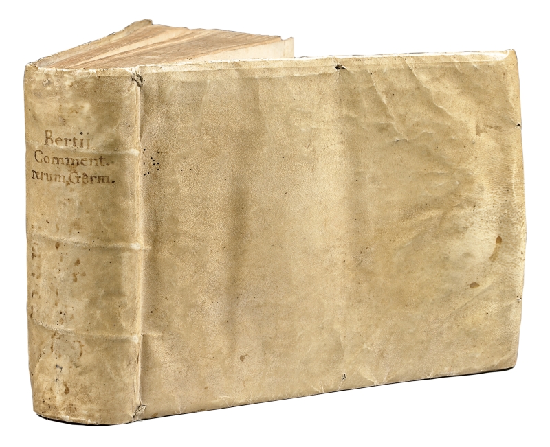
Oblong 4to [238 x 178 mm], (10) pp. including the frontispiece and the plate with the blazon, 732, (2). Bound in contemporary limp vellum, flat spine with handwritten title. Some slight browning and foxing in margins at the beginning of the volume. Few marginal restorations.
First edition of this pocket atlas dedicated to the architecture, the maps and the views of towns of the German Empire at the very beginning of the 17th century. Catalogue of the Avery Architectural Library, p. 80; Lipperheide, Katalog der Kostumbibliothek, 677; Chadenat, I, 16; Bachmann 15.
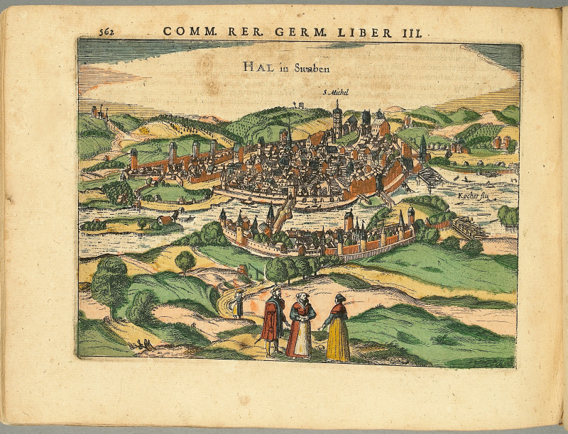
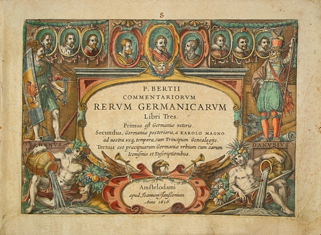
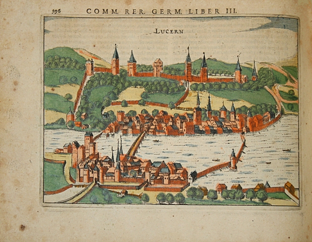
In addition to the frontispiece, the rich illustration consists of 26 engraved maps and 101 detailed views of towns. These plates are of the utmost interest as they give information not only about the architecture but also about the way of life of the populations from that time. Among the towns depicted here, we can find: Amsterdam, Strasburg, Basel, Bergen, Bern, Bonn, Colmar, Frankfurt, Copenhagen, Heidelberg, Munich, Prague, Riga, Stockholm, Zurich, Vienna, Hamburg, Weimar, …
A fine copy of which the 127 plates were contemporary hand-coloured.
See less information
