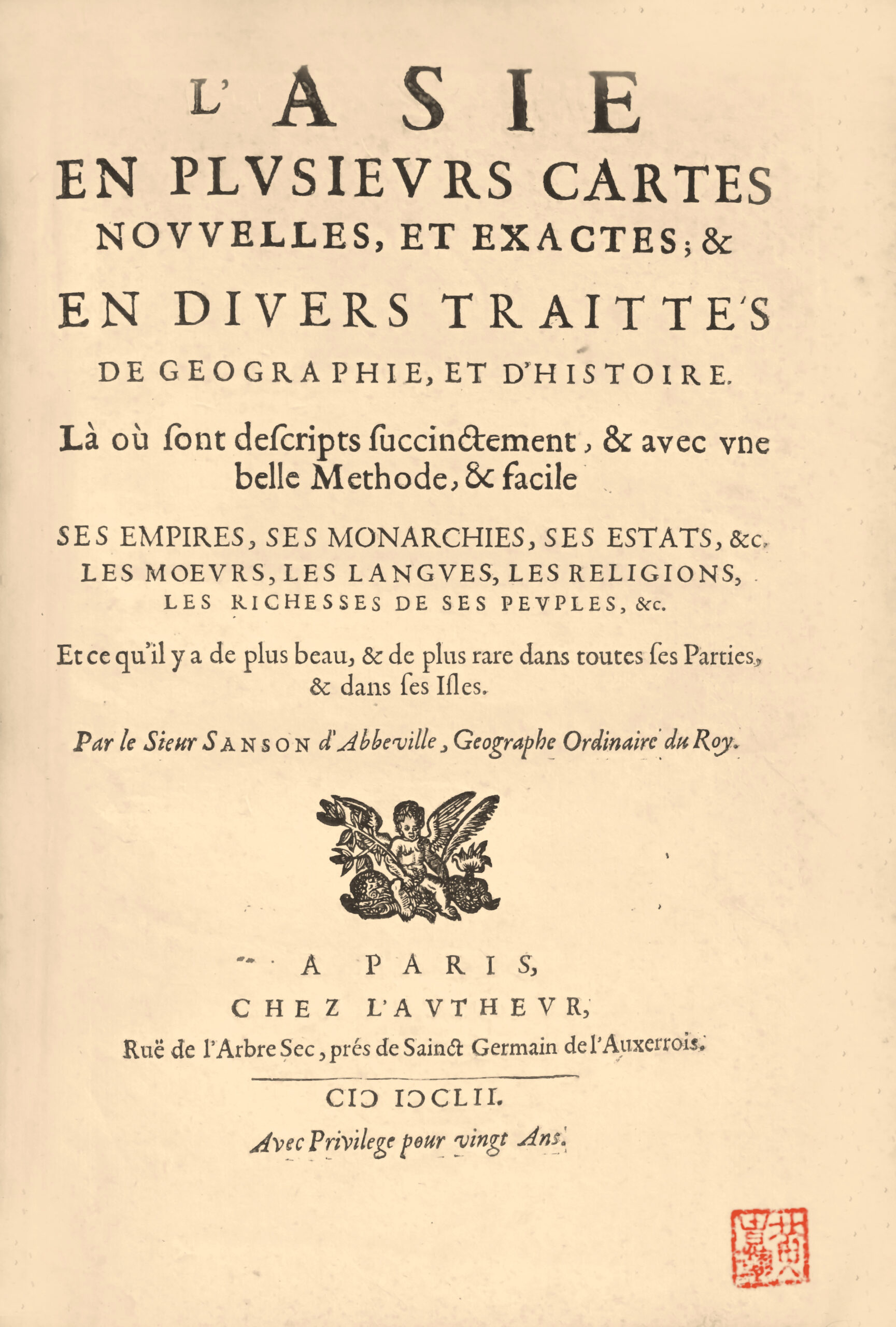
Paris, chez l’autheur, 1652.
4to with (1) l. of title, (50) ll. of text, (1) l. of table, (1) l. of privilege, 17 double-page maps with outlines enhanced in color, Chinese stamp in red ink in lower margin of title and 10 maps.
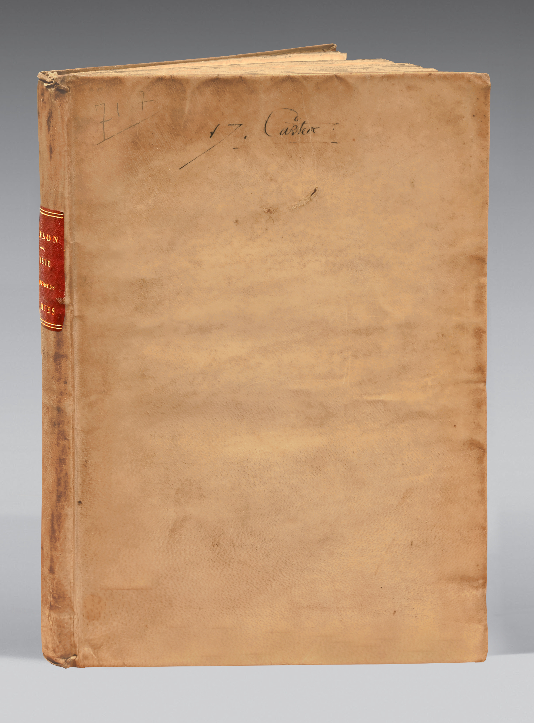
Contemporary limp vellum, “17 Cartes” written in ink on the upper cover, flat spine with red morocco lettering-piece. Contemporary binding.
253 x 183 mm.
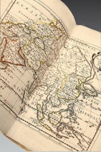
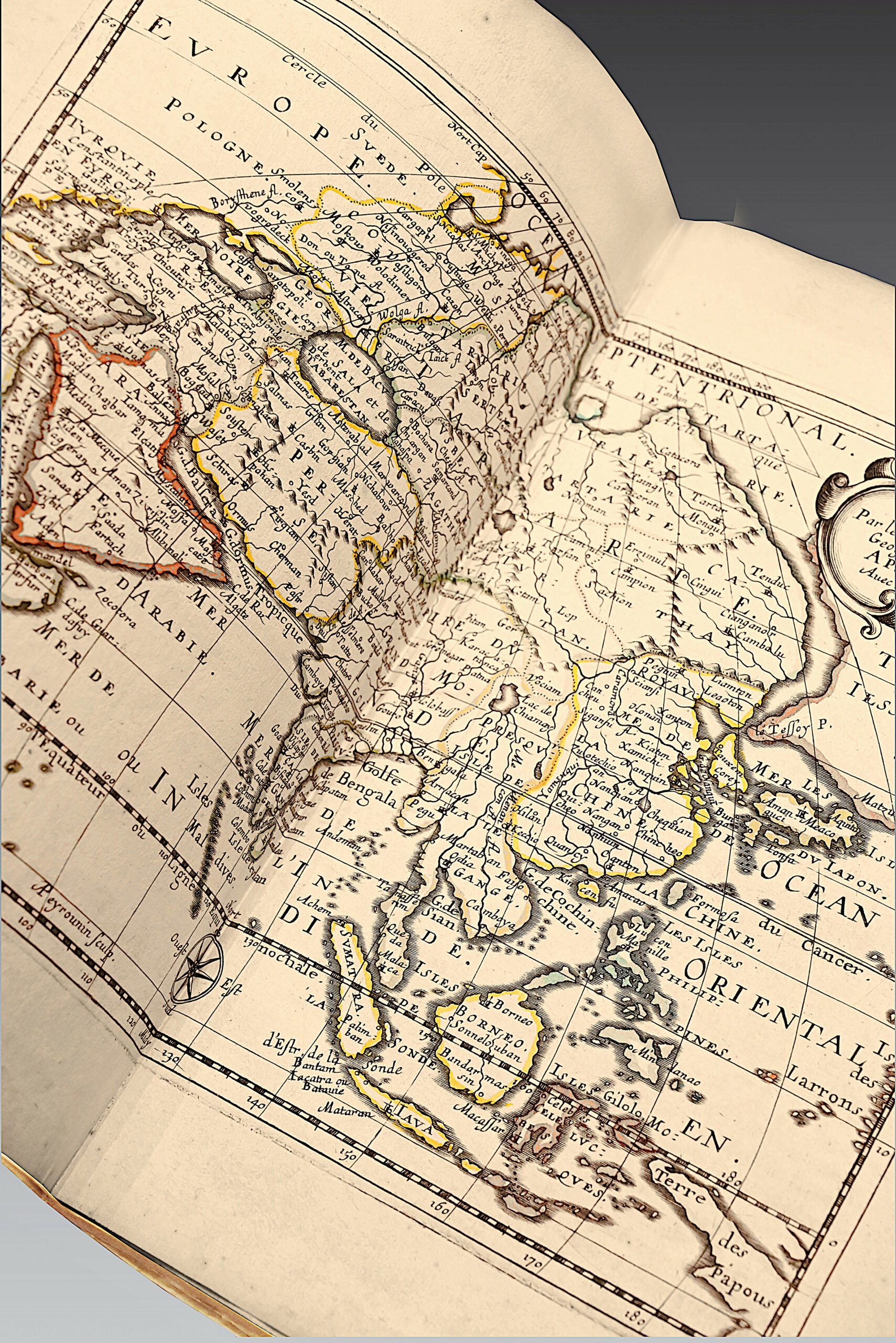
Precious and highly sought-after first edition of the famous French atlas dedicated to Asia, by Nicolas Sanson (1600-1667), first printed in 1652 and analyzed in « En Français dans le texte. B.N.F. » n° 98.
Pastourêu, Sanson III A.
Following on from Europe, the atlas of Asia is the second of four 4to trêtises that Nicolas Sanson, after working for Melchior Tavernier, undertook to publish on his own behalf. The four works (Europe, Asia, Africa, America) were later combined and published by the Dutch publisher François Halma to form the Description de tout l’Univers (Amsterdam, 1700).
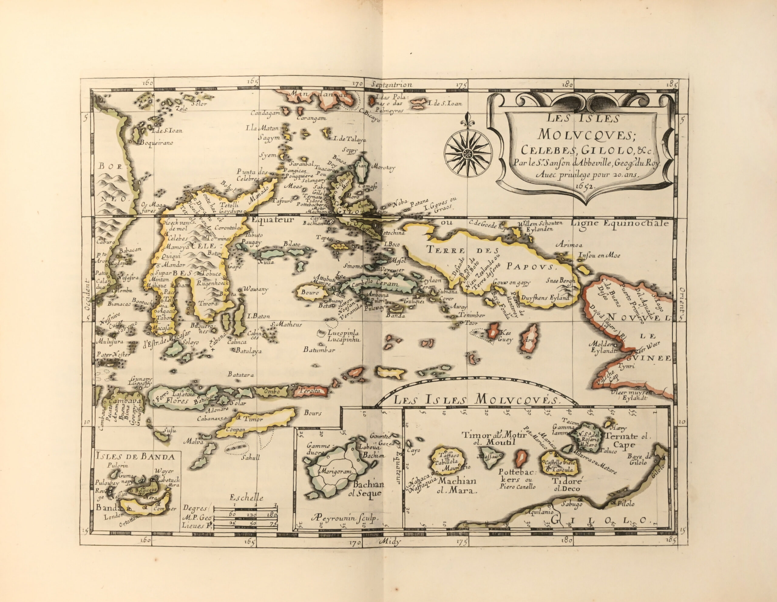
Because of the geographical arê represented, it is unusual in that it includes a number of island maps: Japan, Philippines, Moluccas, Maldives, Sumatra, Ceylon.
The text, which offers a geographical rather than cartographical commentary, is drawn from ancient authors such as Ptolemy, but also from the accounts of modern travelers, particularly those of the Jesuits who spent time in China and Japan.
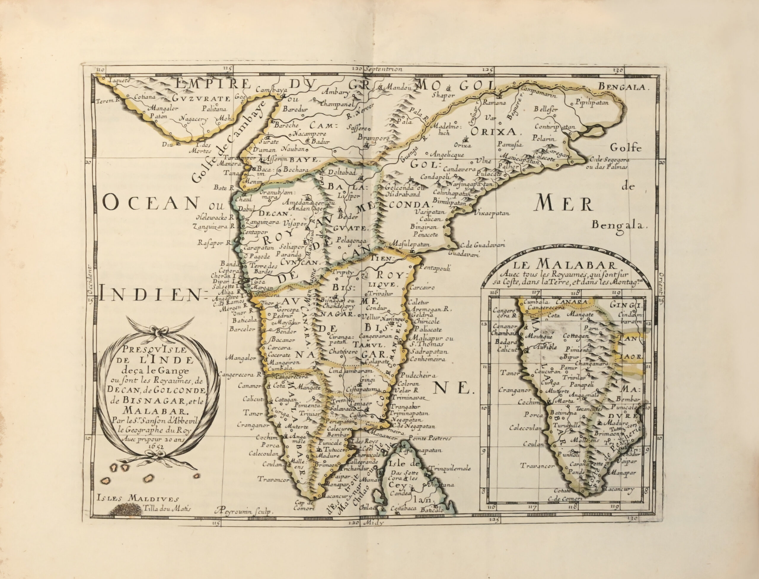
The maps include a general map of Asia, one of Turkey, Anatolia, Sorie and Diarbeck, Turcomania Georgia, Arabia Petrê, Sophy Empire of the Persians, Empire of the Grêt Mogul, peninsula of India below the Ganges, peninsula of India beyond the Ganges, Kingdom of China, Grêt Tartary, Japanese Islands, Philippine Islands, Moluccan Islands, Sunda Islands, Ceylon and Maldives.
The outlines of the 17 maps were colored at the time.
A very fine copy of perfect freshness, preserved in its first contemporary limp vellum binding.
See less information
