Paris, Desnos, n.d. [1766].
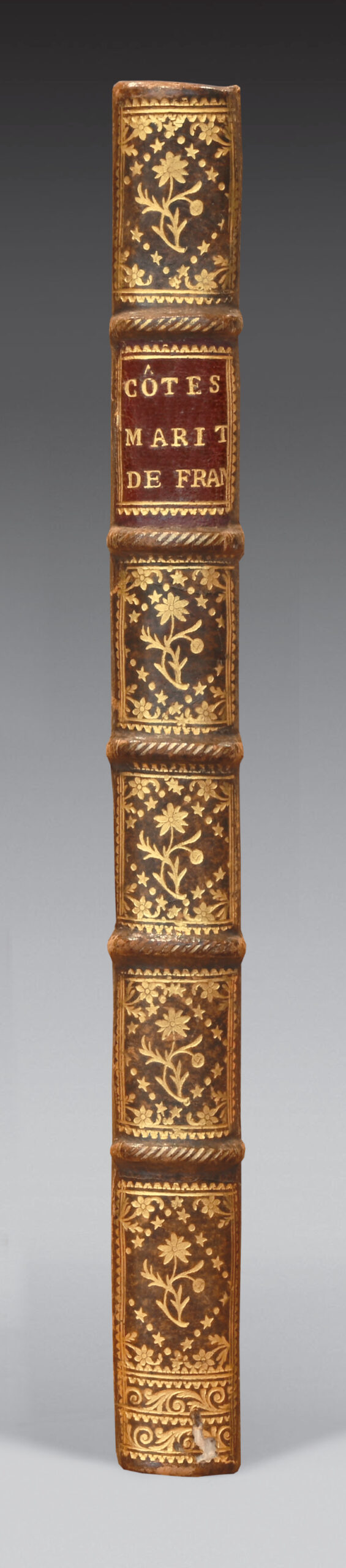
4to with 1 double-page engraved title-page, 1 large folding map and 51 double-page maps. Contemporary half-calf, decorated ribbed spine, red morocco lettering piece, red edges. Contemporary binding.
270 x 210 mm.
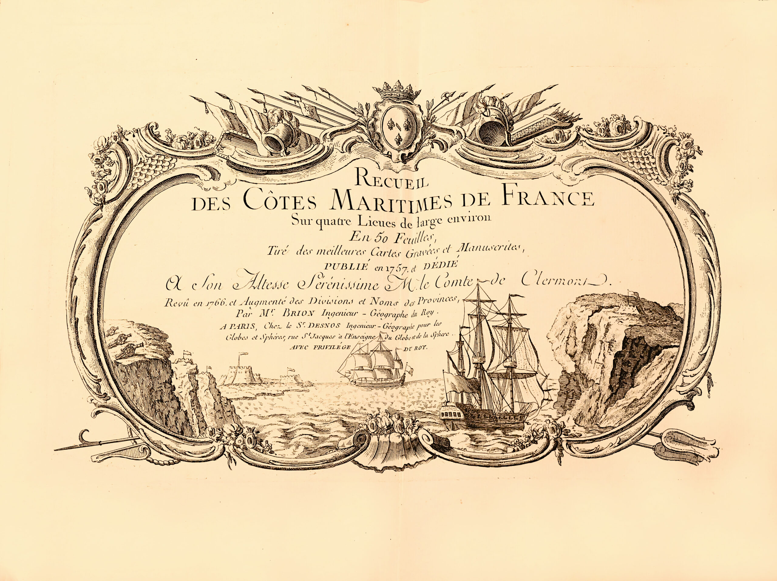
Second enlarged edition of this important coastal atlas of France, compiled by Georges-Louis Le Rouge in 1757 and revised by Louis Brion de la Tour (1756-1823).
Phillips 5998; Tooley, p. 44.
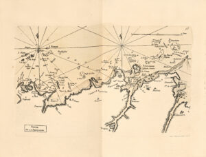
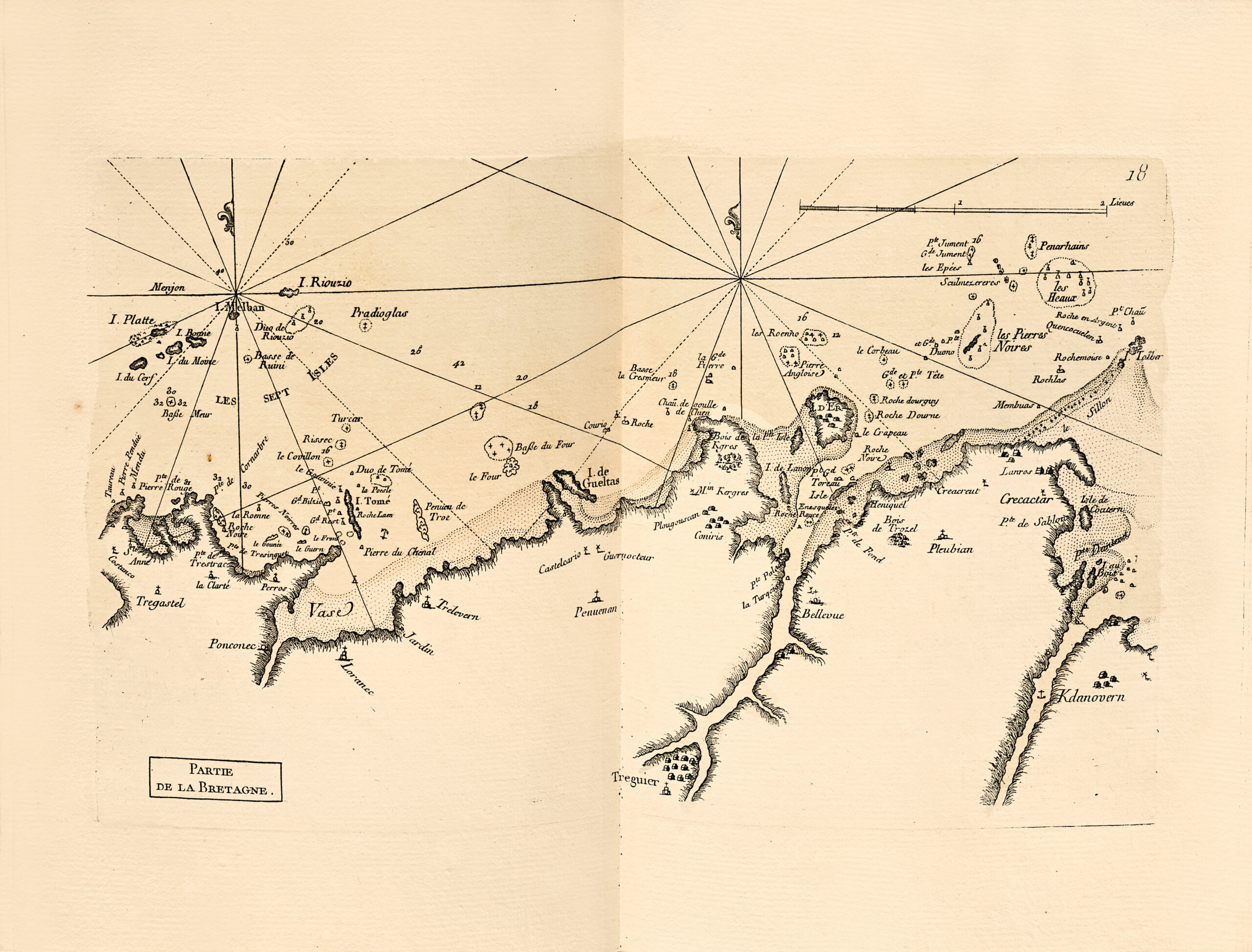
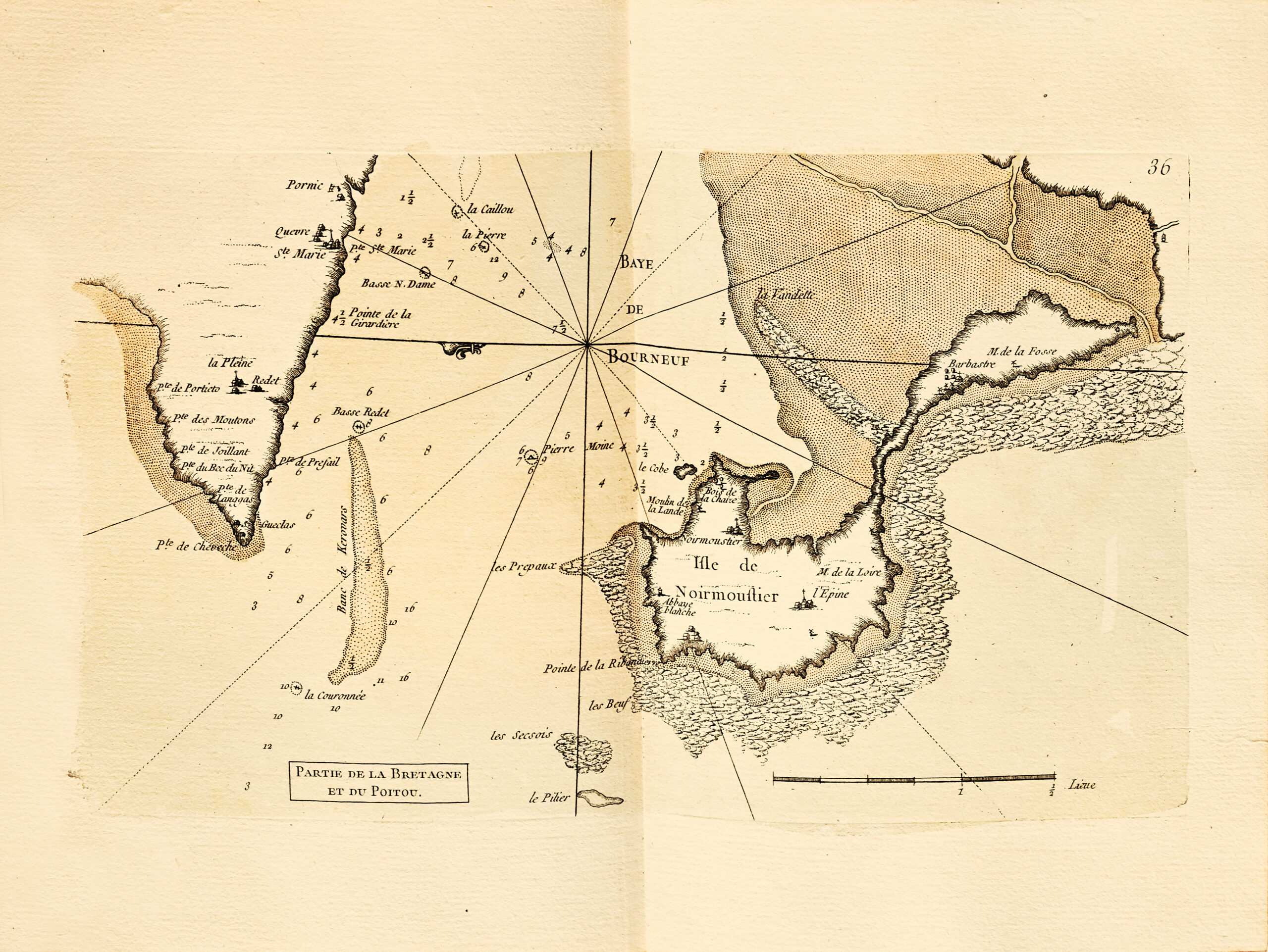
This copy is complete with the large “Carte Générale des Cotes de France” as table of contents, and 51 double-page maps, all enhanced, detailing the entire coastline of France from Dunkirk to Nice.
The marine part of the maps is watercolored in water green, the coasts sometimes in pale brown.
Georges-Louis Le Rouge (c. 1712 – c. 1790) was an 18th-century cartographer, engraver and architect born in Hanover of French parents.
He left Darmstadt after continuing his father’s unfinished work, a large map of Darmstadt, from 1727 to 1732, and composed a map of Alsace in five large sheets, probably for military purposes; he later produced maps for the War of the Polish Succession, between 1733 and 1735. From 1736 onwards, he lived in Paris, where he married for the second time in 1741 and served as engineer-geographer to King Louis XV of France, in the service of the Count of Clermont. In 1738, he became a lieutenant in the service of Maurice de Saxe. In 1744, he published a 21-sheet map of Holland. From 1747, in collaboration with John Rocque, he adapted and translated maps from England. He also crêted an Atlas of Germany, in 100 sheets, including a written description of Germany, published in 1759.
Engineer, appointed “King’s Geographer” by Louis XV, publisher specialized in atlases and topographical works, he owes his fame above all to the publication of numerous maps (1748-1756), battle plans (in Germany, 1741) and surveys of strongholds, which have remained famous to this day. His background and social connections, straddling Germany and France, are typical of the geographer-engineers of his time, who traveled throughout 18th-century Europe to acquire and promote their cartographic skills.
A fine copy preserved in its contemporary binding.