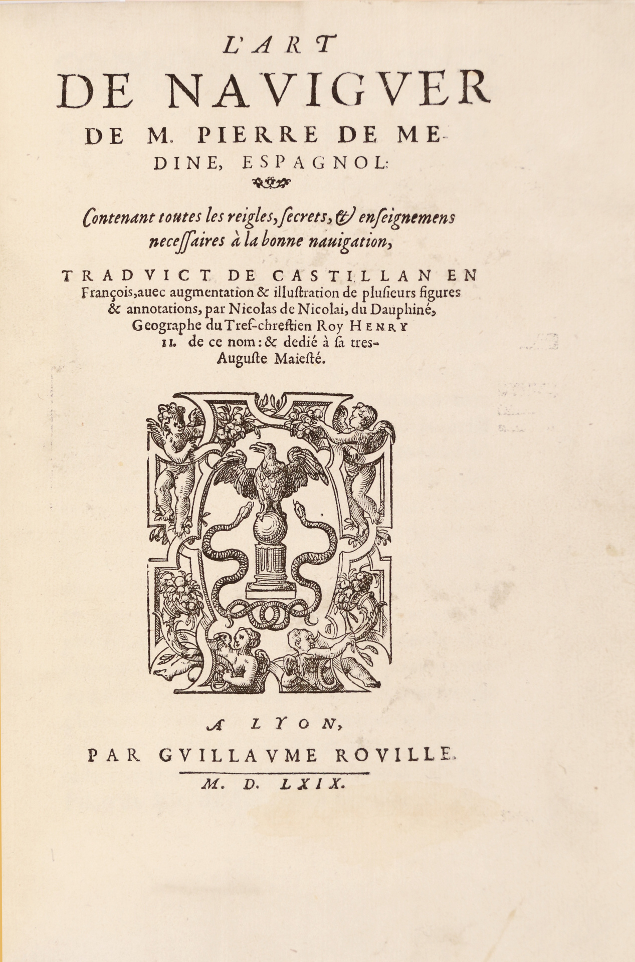
里昂, Guillaume Rouillé, 1569.
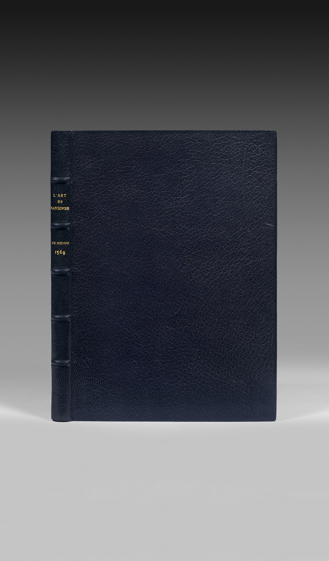
In-4 de (4) ff., 225 pp., (6) pp. de table, (1) p.bl., 多个木刻插图, 1 大折叠地图。蓝色无装饰摩洛哥革, 凸纹脊背, 边缘双金线, 内双金线, 金边。 Rivière & Son。
240 x 167 mm.
/* Style Definitions */ table.MsoNormalTable {mso-style-name:”Tablêu Normal”; mso-tstyle-rowband-size:0; mso-tstyle-colband-size:0; mso-style-noshow:yes; mso-style-priority:99; mso-style-parent:””; mso-padding-alt:0cm 5.4pt 0cm 5.4pt; mso-para-margin-top:0cm; mso-para-margin-right:0cm; mso-para-margin-bottom:10.0pt; mso-para-margin-left:0cm; line-height:115%; mso-pagination:widow-orphan; font-size:11.0pt; font-family:”Calibri”,”sans-serif”; mso-ascii-font-family:Calibri; mso-ascii-theme-font:minor-latin; mso-hansi-font-family:Calibri; mso-hansi-theme-font:minor-latin; mso-bidi-font-family:”Times New Roman”; mso-bidi-theme-font:minor-bidi;} Troisième édition en français, rare, du célèbre « Art de Naviguer » de Médina, traité essentiel pour l’étude de la navigation dans les êux américaines mais aussi pour l’histoire de la cartographie.
Borba de Moraes, 巴西书目, p. 550; Sabin, 与美洲有关的书籍字典, 558-559; Medina, 西班牙裔美洲书籍目录, p. 189; Baudrier. IX, 280.
第一版也是由G. Rouillé于1554年在里昂印刷的。
第二版有六个版本,1561年里昂,5个在公共图书馆:剑桥、法国国家图书馆、昂热、博韦、里昂。
被设计为新世界的航海家和探险家的教学手册, «航海艺术» 是第一部提供美洲海岸可靠航海信息的著作。 它基于使用印度航线的航海家提供的信息。
佩德罗·德·梅迪纳 (1493-1576) 担任梅迪纳公爵的图书管理员。 受命由皇帝查理五世负责制图和航海指引的编制,于1549年被任命为“名誉天文学家”。
《航海艺术》于1545年在巴利亚多利德印刷,获得巨大成功,并在随后几年被翻译成意大利语、法语和德语。
书目学家一致强调该著作的重要性及所有早期版本的极端稀有性。
« 第一版非常稀有。当完整且状态良好时,在航海作品中价格最高。 » Borba de Moraes。
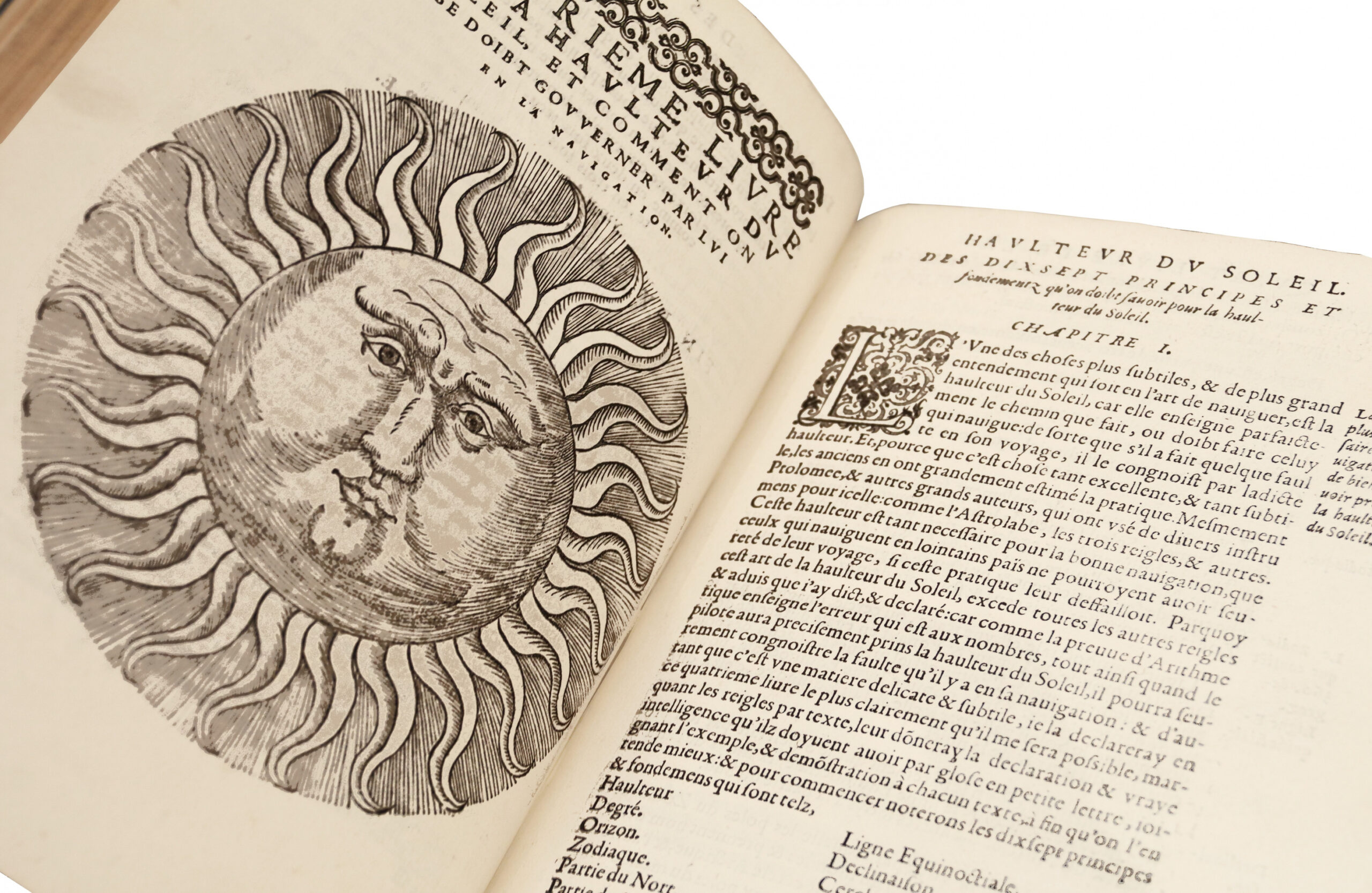
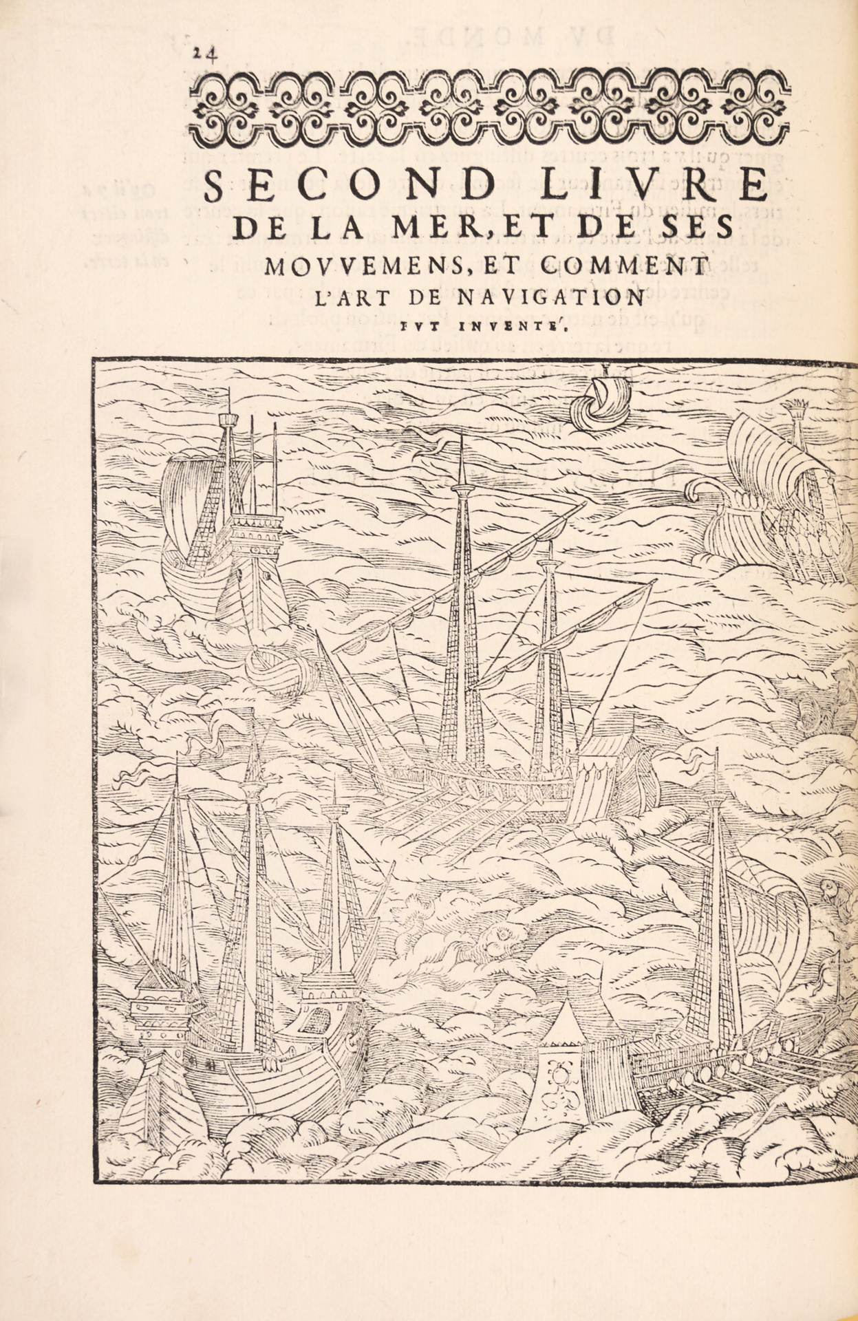
以意大利体字印刷的版本,并附有大量木刻图和图形,帮助航海家根据风、太阳、北极星和月亮导航。
此外,书中还 ornament了两幅地图。
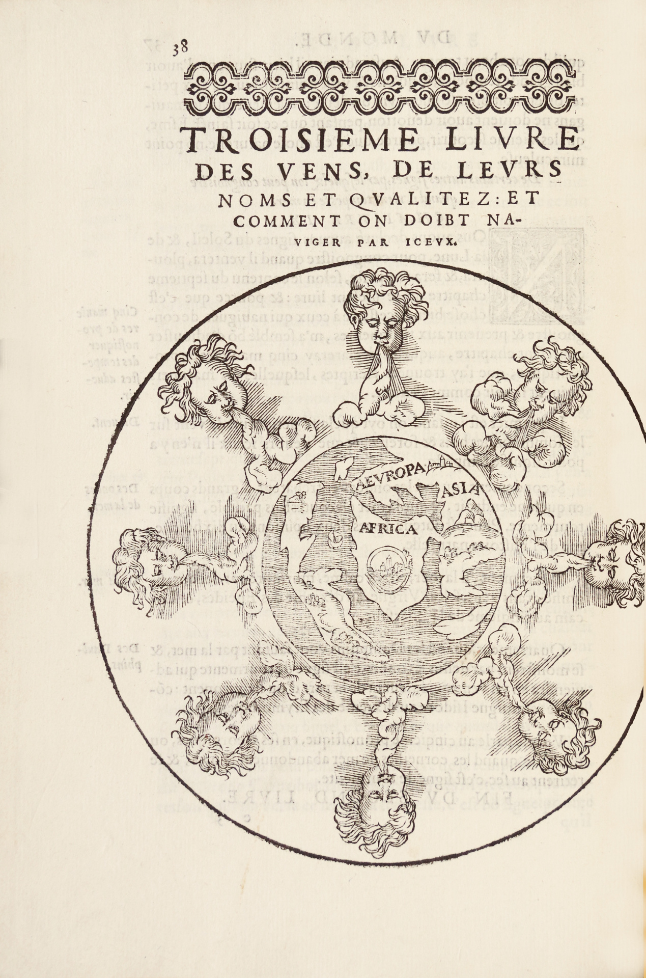
第一幅地图描绘了包括五大洲的世界,位于风的轮子中(p. 38)。
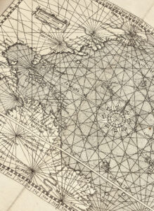
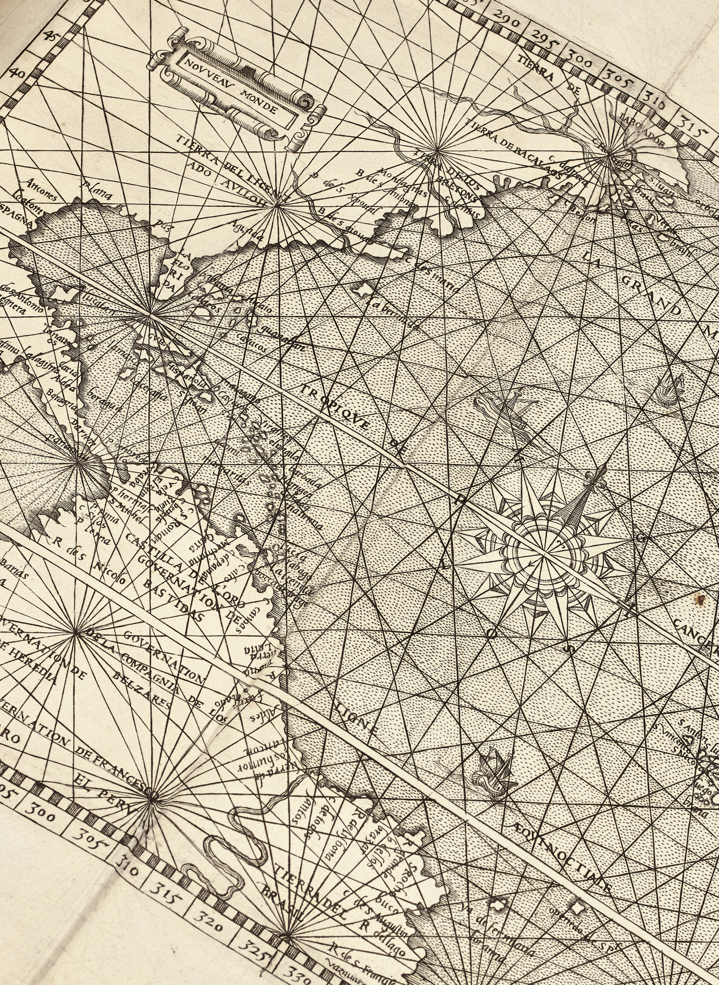
第二幅图是折叠地图,名为《新世界》(360 x 250 mm), 描绘了西欧、非洲、南美北部海岸、巴西、中美洲和北美大西洋海岸。
Cette carte précieuse gravée sur cuivre est signée N. de Nicolay, géographe du Roi. Elle représente pour une grande partie les terres nouvellement découvertes en Amérique et elle est remarquable pour les détails portés sur l’Isthme de Panama et pour la frontière établie par le Pape entre les possessions outre-mer de l’Espagne et du Portugal. Ce fut l’une des premières cartes imprimées en Espagne au XVIe
一份完整的航海和旅行重要著作的版本。
第二版,里昂1561年,只有一个版本在过去30年内上过拍卖行:纽约佳士得,1991年10月8日,与Thevet的南极法国一起装订。成交价为$65,000。
由Rivière签名的摩洛哥装订,并附有完好的新世界美洲大折叠地图,此版本状态完美。
